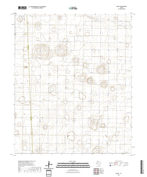
2022 Map of Pettit
USGS Topo · Published 2022About this map
Pettit occupies the central plains of the Texas Panhandle, positioned near the vertical boundary between Cochran Co and Hockley Co. The landscape is defined by a grid-like network of rural roads with distinctive international and geographic names, including Greece, Brazil Rd, and Santa Fe Rd. This geometric arrangement reflects the systematic land partitioning common to the High Plains, where agricultural tracts are serviced by farm-to-market routes like N Fm 303 and Fm 1780. In the northern portion of the quadrangle, the natural topography breaks from this rigid order at Yellow House Draw, a seasonal watercourse that snakes across the terrain. These ephemeral draws are critical historical markers of drainage and early cattle-driving routes in an otherwise semi-arid environment.
Find a feature on this map
28 named features on this map. Tap any name to fly to it.
Don’t see what you’re looking for? This feature index may not catch every label — zoom into the map to look around manually.
Map Details
Editions of this 2022 Pettit Map
This is the sole edition of this map. No revisions or reprints were ever made.
Other maps of this area

1954 · Brownfield
USGS Topo · 1:250,000

1958 · Brownfield
USGS Topo · 1:250,000

1962 · Brownfield
USGS Topo · 1:250,000

1964 · Oklahoma Flat
USGS Topo · 1:24,000

1964 · Pep
USGS Topo · 1:24,000

1965 · Levelland West
USGS Topo · 1:24,000

1965 · Hester Ranch
USGS Topo · 1:24,000

1965 · Pettit
USGS Topo · 1:24,000

1965 · Whiteface
USGS Topo · 1:24,000

1970 · Whiteface SW
USGS Topo · 1:24,000