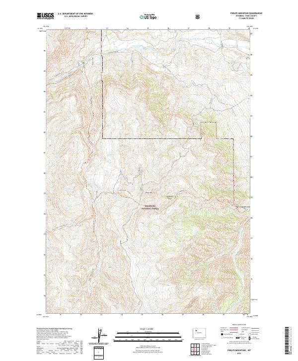
2021 Map of Phelps Mountain
USGS Topo · Published 2021About this map
Shoshone National Forest encompasses the high-altitude terrain of this Park County landscape, dominated by the peaks of the Absaroka Range. The Greybull River serves as the primary drainage for the northern section, flanked by Greybull River Rd and the Greybull River Highwater Trl. This area is characterized by a dense network of watercourses, including Willow Cr, Four Bear Cr, and Haymaker Cr, which carve through the slopes of Phelps Mtn.
Find a feature on this map
23 named features on this map. Tap any name to fly to it.
Don’t see what you’re looking for? This feature index may not catch every label — zoom into the map to look around manually.
Map Details
Editions of this 2021 Phelps Mountain Map
This is the sole edition of this map. No revisions or reprints were ever made.
Other maps of this area

1904 · Kirwin
USGS Topo · 1:125,000

1906 · Kirwin
USGS Topo · 1:125,000

1955 · Cody
USGS Topo · 1:250,000

1955 · Thermopolis
USGS Topo · 1:250,000

1957 · Irish Rock
USGS Topo · 1:62,500

1957 · Sunshine Reservoir
USGS Topo · 1:62,500

1958 · Cody
USGS Topo · 1:250,000

1958 · Thermopolis
USGS Topo · 1:250,000

1962 · Thermopolis
USGS Topo · 1:250,000

1962 · Cody
USGS Topo · 1:250,000