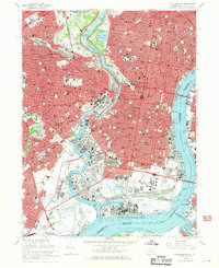
1967 Map of Philadelphia
USGS Topo · Published 1970About this map
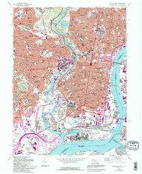
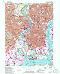
Fairmount Park and the winding Schuylkill River anchor this mid-century view of the city, revealing a landscape where industrial infrastructure and institutional landmarks sit side-by-side. The map details the dense urban core including Independence National Historical Park and the University of Pennsylvania, while also capturing the sprawling U S Naval Reservation and Mustin Field along the southern waterfront. Transportation networks are prominent, from the heavy rail lines of the Reading and Penn Central to the rising dominance of the Schuylkill Expwy and the massive spans of the Benjamin Franklin Bridge.
Find a feature on this map
127 named features on this map. Tap any name to fly to it.
Don’t see what you’re looking for? This feature index may not catch every label — zoom into the map to look around manually.
Map Details
Editions of this 1967 Philadelphia Map
6 editions found
Other maps of this area

1891 · Philadelphia
USGS Topo · 1:62,500

1893 · Germantown
USGS Topo · 1:62,500

1894 · Chester
USGS Topo · 1:62,500

1894 · Philadelphia
USGS Topo · 1:62,500

1894 · Norristown
USGS Topo · 1:62,500

1894 · Germantown
USGS Topo · 1:62,500

1895 · Norristown
USGS Topo · 1:62,500

1896 · Germantown
USGS Topo · 1:62,500

1896 · Philadelphia
USGS Topo · 1:62,500

1896 · Norristown
USGS Topo · 1:62,500