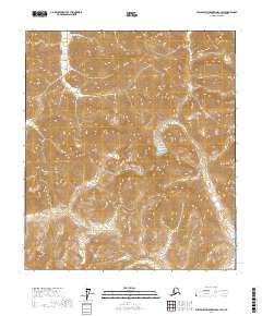
2017 Map of Philip Smith Mountains C-1 SW
USGS Topo · Published 2017About this map
The Wind River carves through this remote landscape in the North Slope Borough, providing a vital waterway for the Brooks Range interior. This 2017 survey by the U.S. Geological Survey documents the high-altitude terrain where the river’s drainage network meets the ice-carved features of the upper mountains. A prominent landmark is Windy Glacier, situated in the central portion of the quadrangle among steep vertical relief. The map illustrates the complex township and range boundaries including t10s r20e and t11s r20e, which help define these undeveloped tracts of the Alaskan wilderness. For those studying the geography of the Far North, this sheet offers a detailed perspective on the glacial and riverine interactions that shape the Arctic divide before human development or infrastructure altered the drainage basins.
Find a feature on this map
11 named features on this map. Tap any name to fly to it.
Don’t see what you’re looking for? This feature index may not catch every label — zoom into the map to look around manually.
Map Details
Editions of this 2017 Philip Smith Mountains C-1 SW Map
This is the sole edition of this map. No revisions or reprints were ever made.
Other maps of this area

1951 · Brooks
USGS Topo · 1:250,000

1956 · Philip Smith Mountains
USGS Topo · 1:250,000

1964 · Philip Smith Mountains
USGS Topo · 1:250,000
1971 · Philip Smith Mountains C-1
USGS Topo · 1:63,360
1971 · Philip Smith Mountains C-2
USGS Topo · 1:63,360
1971 · Philip Smith Mountains B-1
USGS Topo · 1:63,360
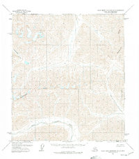
1971 · Philip Smith Mountains B-2
USGS Topo · 1:63,360
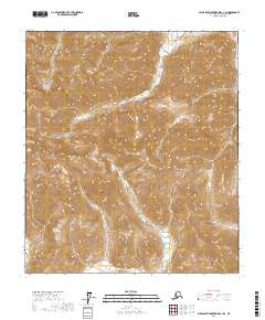
2017 · Philip Smith Mountains C-1 SE
USGS Topo · 1:25,000
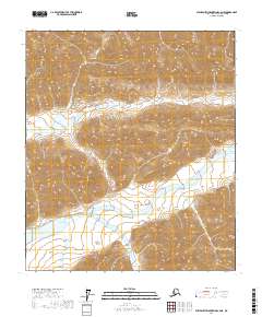
2017 · Philip Smith Mountains C-2 NE
USGS Topo · 1:25,000
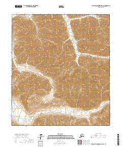
2017 · Philip Smith Mountains C-2 SE
USGS Topo · 1:25,000