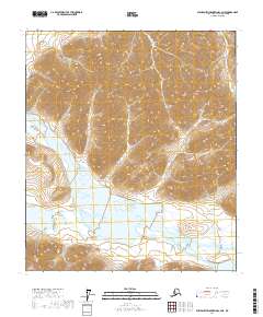
2017 Map of Philip Smith Mountains C-3 NE
USGS Topo · Published 2017About this map
The Ribdon River dominates the valley floor in this 2017 survey of the Brooks Range foothills, its braided channels cutting through a landscape primarily defined by steep elevation changes and drainage basins. Elusive Lake sits at the base of these heights, marking a rare point of standing water amidst the high-altitude terrain of the North Slope. Surveyed according to the Public Land Survey System, the map detail includes the intersections of t8s r15e, t8s r16e, t9s r15e, t9s r16e, and t9s r17e. This modern topographic study focuses on the natural hydrology and contours of a region where the river system is the primary geological architect, providing a precise record of the shoreline and drainage patterns before seasonal shifts alter the braided path of the Ribdon River.
Find a feature on this map
7 named features on this map. Tap any name to fly to it.
Don’t see what you’re looking for? This feature index may not catch every label — zoom into the map to look around manually.
Map Details
Editions of this 2017 Philip Smith Mountains C-3 NE Map
This is the sole edition of this map. No revisions or reprints were ever made.
Other maps of this area

1951 · Brooks
USGS Topo · 1:250,000

1956 · Philip Smith Mountains
USGS Topo · 1:250,000

1964 · Philip Smith Mountains
USGS Topo · 1:250,000
1971 · Philip Smith Mountains D-3
USGS Topo · 1:63,360
1971 · Philip Smith Mountains C-2
USGS Topo · 1:63,360
1971 · Philip Smith Mountains D-2
USGS Topo · 1:63,360
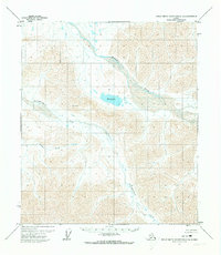
1971 · Philip Smith Mountains C-3
USGS Topo · 1:63,360
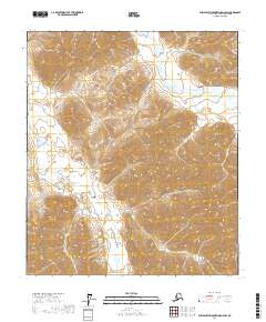
2017 · Philip Smith Mountains D-2 SW
USGS Topo · 1:25,000
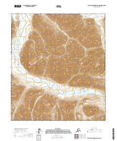
2017 · Philip Smith Mountains C-2 SW
USGS Topo · 1:25,000
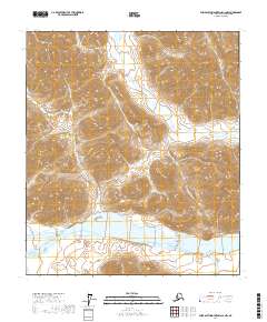
2017 · Philip Smith Mountains C-2 NW
USGS Topo · 1:25,000