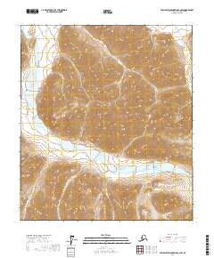
2017 Map of Philip Smith Mountains C-2 SW
USGS Topo · Published 2017About this map
The Philip Smith Mountains area in the North Slope Borough of Alaska is defined by a dense network of high-elevation ridgelines and deep glacial valleys. This 2017 survey shows the transition between several major Public Land Survey System townships, including t10s r17e and t11s r18e. Unlike more settled regions, this landscape is characterized entirely by its natural hydrology and sharp topographical relief, with seasonal drainage patterns and permanent snowpack shaping the terrain. The map provides a precise record of the physical geography within the North Slope, where the absence of named human settlements emphasizes the primary role of surveying and resource management in these northern reaches.
Find a feature on this map
6 named features on this map. Tap any name to fly to it.
Don’t see what you’re looking for? This feature index may not catch every label — zoom into the map to look around manually.
Map Details
Editions of this 2017 Philip Smith Mountains C-2 SW Map
This is the sole edition of this map. No revisions or reprints were ever made.
Other maps of this area

1951 · Brooks
USGS Topo · 1:250,000

1956 · Philip Smith Mountains
USGS Topo · 1:250,000

1964 · Philip Smith Mountains
USGS Topo · 1:250,000
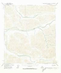
1971 · Philip Smith Mountains C-2
USGS Topo · 1:63,360
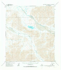
1971 · Philip Smith Mountains C-3
USGS Topo · 1:63,360

1971 · Philip Smith Mountains B-3
USGS Topo · 1:63,360
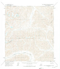
1971 · Philip Smith Mountains B-2
USGS Topo · 1:63,360
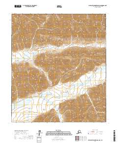
2017 · Philip Smith Mountains C-2 NE
USGS Topo · 1:25,000
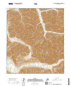
2017 · Philip Smith Mountains C-2 SE
USGS Topo · 1:25,000
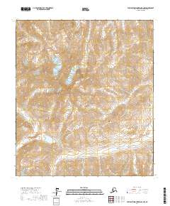
2017 · Philip Smith Mountains B-2 NW
USGS Topo · 1:25,000