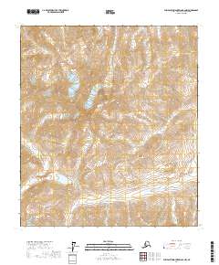
2017 Map of Philip Smith Mountains B-2 NW
USGS Topo · Published 2017About this map
Philip Smith Mountains define this high-altitude landscape in the North Slope, Alaska, where deep glacial valleys and high ridges dominate the terrain. This 2017 survey shows the intricate drainage pattern of Accomplishment Cr as it flows through the western portion of the quadrangle. The map documents a strictly natural environment, partitioned by the Public Land Survey System into sections within t11s r17e, t11s r18e, t12s r17e, and t12s r18e. These survey lines represent the primary human imprint on an otherwise undeveloped wilderness, providing a precise coordinate system for the remote territory between the Brooks Range and the coastal plain.
Find a feature on this map
6 named features on this map. Tap any name to fly to it.
Don’t see what you’re looking for? This feature index may not catch every label — zoom into the map to look around manually.
Map Details
Editions of this 2017 Philip Smith Mountains B-2 NW Map
This is the sole edition of this map. No revisions or reprints were ever made.
Other maps of this area

1951 · Brooks
USGS Topo · 1:250,000

1956 · Philip Smith Mountains
USGS Topo · 1:250,000

1964 · Philip Smith Mountains
USGS Topo · 1:250,000
1971 · Philip Smith Mountains C-2
USGS Topo · 1:63,360
1971 · Philip Smith Mountains C-3
USGS Topo · 1:63,360

1971 · Philip Smith Mountains B-3
USGS Topo · 1:63,360
1971 · Philip Smith Mountains B-2
USGS Topo · 1:63,360
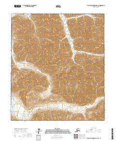
2017 · Philip Smith Mountains C-2 SE
USGS Topo · 1:25,000
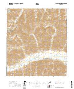
2017 · Philip Smith Mountains B-2 SW
USGS Topo · 1:25,000
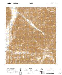
2017 · Philip Smith Mountains B-2 NE
USGS Topo · 1:25,000