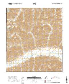
2017 Map of Philip Smith Mountains B-2 SW
USGS Topo · Published 2017About this map
Middle Fork Chandalar River winds through this high-altitude landscape in the North Slope region, cutting a broad glacial valley through the surrounding peaks. This 2017 survey details the complex topography and hydrological patterns of the Alaskan interior, primarily defined by steep elevation changes and the braided path of the river. The area is divided by several township and range lines including t13s r17e and t13s r18e, reflecting the systematic cadastral surveying of these remote northern territories. The map provides a precise record of the landforms and drainages before further environmental or geomorphological shifts, serving as a critical resource for understanding the rugged corridor of the eastern Brooks Range.
Find a feature on this map
7 named features on this map. Tap any name to fly to it.
Don’t see what you’re looking for? This feature index may not catch every label — zoom into the map to look around manually.
Map Details
Editions of this 2017 Philip Smith Mountains B-2 SW Map
This is the sole edition of this map. No revisions or reprints were ever made.
Other maps of this area

1951 · Brooks
USGS Topo · 1:250,000

1956 · Philip Smith Mountains
USGS Topo · 1:250,000

1964 · Philip Smith Mountains
USGS Topo · 1:250,000
1971 · Philip Smith Mountains A-2
USGS Topo · 1:63,360

1971 · Philip Smith Mountains B-3
USGS Topo · 1:63,360
1971 · Philip Smith Mountains A-3
USGS Topo · 1:63,360
1971 · Philip Smith Mountains B-2
USGS Topo · 1:63,360
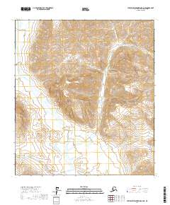
2017 · Philip Smith Mountains A-2 NE
USGS Topo · 1:25,000
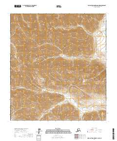
2017 · Philip Smith Mountains A-2 NW
USGS Topo · 1:25,000
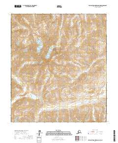
2017 · Philip Smith Mountains B-2 NW
USGS Topo · 1:25,000