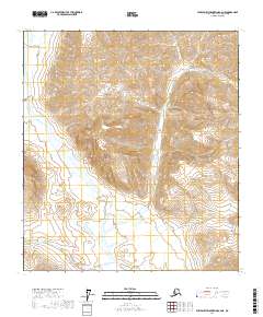
2017 Map of Philip Smith Mountains A-2 NE
USGS Topo · Published 2017About this map
Middle Fork Chandalar River dominates the southwestern portion of this topographic survey, carving a path through the northern landscape of the North Slope. The river valley is joined by the winding course of Beaucoup Creek (also labeled as Beaucoup Cr), which drains the mountain slopes to the east. The terrain is characterized by high-elevation ridges and deep valleys, illustrated through detailed contour intervals that show the intricate drainage patterns feeding into the larger Chandalar system. This map provides a precise record of the hydrologic network within the t14s r19e and t15s r19e townships, where the braided channels of the river and its tributaries illustrate the natural state of this arctic watershed in the early twenty-first century.
Find a feature on this map
9 named features on this map. Tap any name to fly to it.
Don’t see what you’re looking for? This feature index may not catch every label — zoom into the map to look around manually.
Map Details
Editions of this 2017 Philip Smith Mountains A-2 NE Map
This is the sole edition of this map. No revisions or reprints were ever made.
Other maps of this area

1951 · Brooks
USGS Topo · 1:250,000

1956 · Philip Smith Mountains
USGS Topo · 1:250,000

1964 · Philip Smith Mountains
USGS Topo · 1:250,000
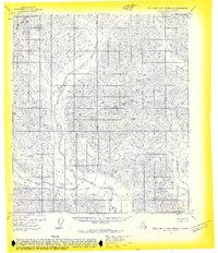
1971 · Philip Smith Mountains B-1
USGS Topo · 1:63,360
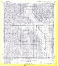
1971 · Philip Smith Mountains A-2
USGS Topo · 1:63,360
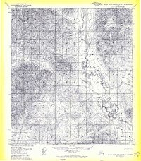
1971 · Philip Smith Mountains A-1
USGS Topo · 1:63,360
1971 · Philip Smith Mountains B-2
USGS Topo · 1:63,360
2017 · Philip Smith Mountains A-1 NW
USGS Topo · 1:25,000
2017 · Philip Smith Mountains A-2 SW
USGS Topo · 1:25,000
2017 · Philip Smith Mountains A-2 NW
USGS Topo · 1:25,000