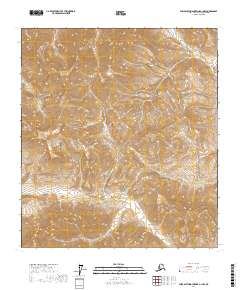
2017 Map of Philip Smith Mountains A-1 NW
USGS Topo · Published 2017About this map
Beaucoup Cr flows through the western portion of this high-altitude landscape in the North Slope borough, carving through dramatic elevation changes that exceed 6,000 feet in several peaks. This 2017 survey by the U.S. Geological Survey reveals a wilderness defined by steep topographic gradients and the headwaters of the regional drainage system. The absence of roads or structures emphasizes the primitive character of the terrain, which is organized by the Public Land Survey System grids of t14s r20e, t14s r21e, t15s r20e, and t15s r21e. The intricate contour lines illustrate a complex network of ridges and glacial valleys, providing a precise record of the remote Brooks Range foothills before further environmental shifts occur.
Find a feature on this map
5 named features on this map. Tap any name to fly to it.
Don’t see what you’re looking for? This feature index may not catch every label — zoom into the map to look around manually.
Map Details
Editions of this 2017 Philip Smith Mountains A-1 NW Map
This is the sole edition of this map. No revisions or reprints were ever made.
Other maps of this area

1951 · Brooks
USGS Topo · 1:250,000

1956 · Philip Smith Mountains
USGS Topo · 1:250,000

1964 · Philip Smith Mountains
USGS Topo · 1:250,000
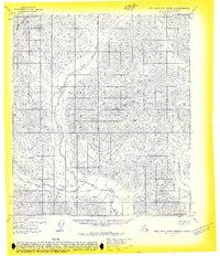
1971 · Philip Smith Mountains B-1
USGS Topo · 1:63,360
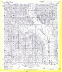
1971 · Philip Smith Mountains A-2
USGS Topo · 1:63,360
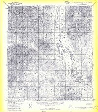
1971 · Philip Smith Mountains A-1
USGS Topo · 1:63,360
1971 · Philip Smith Mountains B-2
USGS Topo · 1:63,360
2017 · Philip Smith Mountains B-1 SE
USGS Topo · 1:25,000
2017 · Philip Smith Mountains A-1 NE
USGS Topo · 1:25,000
2017 · Philip Smith Mountains A-2 NE
USGS Topo · 1:25,000