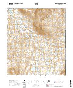
2017 Map of Philip Smith Mountains C-5 NW
USGS Topo · Published 2017About this map
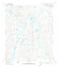
Itigaknit Mtn rises above the glacial valleys of the North Slope in this 2017 survey by the U.S. Geological Survey. The landscape is dominated by the complex, meandering path of the Itkillik River, which snakes through a dense network of Arctic wetlands and thaw lakes. This map provides a detailed view of the remote Brooks Range foothills, where the hydrology is shaped by permafrost and seasonal drainage patterns. The sheer density of small water bodies across the tundra highlights the unique environment of the Arctic coastal plain transition. While primarily a record of physical geography, the map serves as a precise reference for the township and range grid, including t8s r9e and t9s r10e, marking these northern reaches of the Alaska interior.
Find a feature on this map
6 named features on this map. Tap any name to fly to it.
Don’t see what you’re looking for? This feature index may not catch every label — zoom into the map to look around manually.
Map Details
Editions of this 2017 Philip Smith Mountains C-5 NW Map
This is the sole edition of this map. No revisions or reprints were ever made.
Other maps of this area

1951 · Chandler Lake
USGS Topo · 1:250,000

1951 · Brooks
USGS Topo · 1:250,000

1956 · Philip Smith Mountains
USGS Topo · 1:250,000

1956 · Chandler Lake
USGS Topo · 1:250,000

1964 · Philip Smith Mountains
USGS Topo · 1:250,000

1964 · Chandler Lake
USGS Topo · 1:250,000
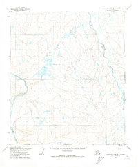
1971 · Chandler Lake D-1
USGS Topo · 1:63,360
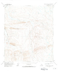
1971 · Chandler Lake C-1
USGS Topo · 1:63,360
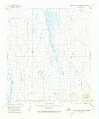
1971 · Philip Smith Mountains D-5
USGS Topo · 1:63,360
1971 · Philip Smith Mountains C-5
USGS Topo · 1:63,360