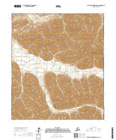
2017 Map of Philip Smith Mountains D-2 SE
USGS Topo · Published 2017About this map
Saviukviayak River cuts a prominent path through this section of the Philip Smith Mountains, defining the central drainage system of a landscape marked by extreme relief. The river flows generally westward, joined by tributaries like Flood Cr in the northeastern reaches of the quadrangle. This 2017 survey by the U.S. Geological Survey illustrates the vast, uninhabited terrain of the North Slope Borough, where elevation changes are the primary geographic markers. The mapping of t6s r18e and surrounding townships provides a technical framework for this part of the Brooks Range, documenting a wilderness defined by its waterways and steep contours rather than human settlement or infrastructure.
Find a feature on this map
8 named features on this map. Tap any name to fly to it.
Don’t see what you’re looking for? This feature index may not catch every label — zoom into the map to look around manually.
Map Details
Editions of this 2017 Philip Smith Mountains D-2 SE Map
This is the sole edition of this map. No revisions or reprints were ever made.
Other maps of this area

1951 · Brooks
USGS Topo · 1:250,000

1956 · Philip Smith Mountains
USGS Topo · 1:250,000

1964 · Philip Smith Mountains
USGS Topo · 1:250,000
1971 · Philip Smith Mountains C-1
USGS Topo · 1:63,360
1971 · Philip Smith Mountains C-2
USGS Topo · 1:63,360
1971 · Philip Smith Mountains D-2
USGS Topo · 1:63,360
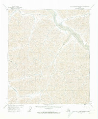
1971 · Philip Smith Mountains D-1
USGS Topo · 1:63,360
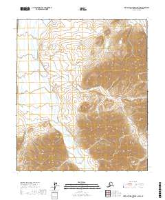
2017 · Philip Smith Mountains D-2 NW
USGS Topo · 1:25,000
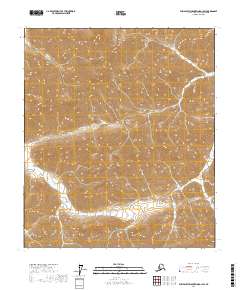
2017 · Philip Smith Mountains D-1 SW
USGS Topo · 1:25,000
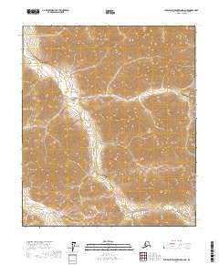
2017 · Philip Smith Mountains D-2 NE
USGS Topo · 1:25,000