Loading...
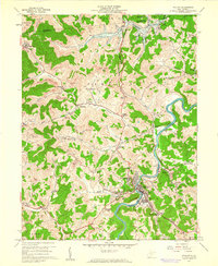
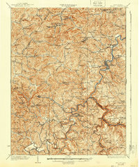
Loading map...1960 Map of Philippi
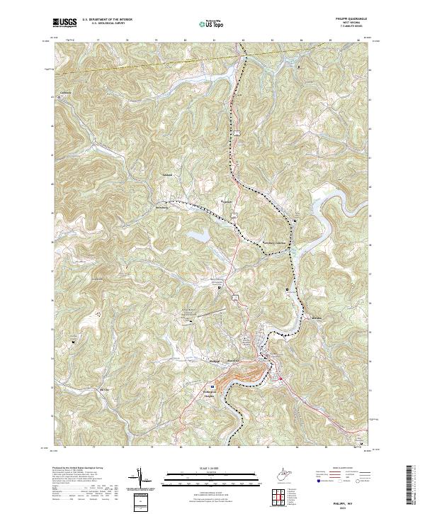
USGS Topo · Published 1961About this map
Philippi serves as the focal point of this 1960s-era landscape, where the Tygart River winds through the hills of Barbour County. The geography is heavily defined by the Baltimore and Ohio railroad corridor and the extensive presence of strip mines that mark the ridges between narrow creek valleys. Higher ground is home to Alderson-Broaddus College overlooking the river, while the surrounding countryside is dotted with small coal-era settlements like Berryburg and Meriden.
Find a feature on this map
67 named features on this map. Tap any name to fly to it.
Don’t see what you’re looking for? This feature index may not catch every label — zoom into the map to look around manually.
Map Details
Date Portrayed1960
Date Published1961
PublisherU.S. Geological Survey
Map TypeTopographic
Scale1:24,000
Physical Dimensions22.1 x 26.9 inches
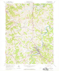
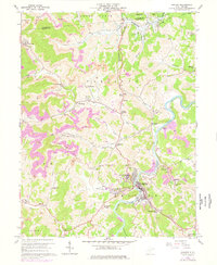
Editions of this 1960 Philippi Map
3 editions found
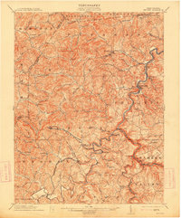
Historical Maps of Philippi Through Time
5 maps found

Featured Locations
Source Details
SourceU.S. Geological Survey
CopyrightPublic Domain