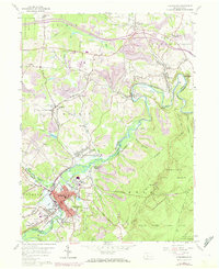
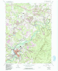
1959 Map of Philipsburg
USGS Topo · Published 1972About this map
Philipsburg serves as the primary hub of this industrial and coal-producing landscape on the border of Centre Co and Clearfield Co. The town is surrounded by a network of smaller mining and rail settlements such as Morrisdale, Winburne, and Munson, all connected by the Penn Central railroad lines that follow the winding course of Moshannon Creek. The presence of numerous Strip Mines across the northern reaches of the quadrangle, particularly near Graham and Kylertown, illustrates the intensive extraction activities of the mid-20th century.
Find a feature on this map
63 named features on this map. Tap any name to fly to it.
Don’t see what you’re looking for? This feature index may not catch every label — zoom into the map to look around manually.
Map Details
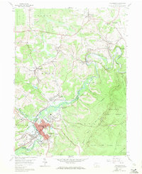
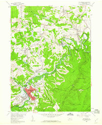
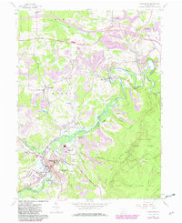
Editions of this 1959 Philipsburg Map
5 editions found
Other maps of this area

1903 · Houtzdale
USGS Topo · 1:62,500

1905 · Houtzdale
USGS Topo · 1:62,500

1922 · Philipsburg
USGS Topo · 1:62,500

1929 · Karthaus
USGS Topo · 1:62,500

1929 · Clearfield
USGS Topo · 1:48,000

1932 · Clearfield
USGS Topo · 1:62,500

1932 · Karthaus
USGS Topo · 1:62,500

1939 · Philipsburg
USGS Topo · 1:62,500

1944 · Houtzdale
USGS Topo · 1:24,000

1945 · Philipsburg
USGS Topo · 1:62,500