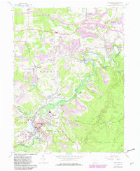
1959 Map of Philipsburg
USGS Topo · Published 1982About this map
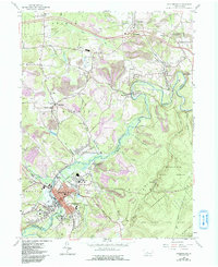
Moshannon Creek carves a winding path through this central Pennsylvania landscape, defining the jagged border between Centre and Clearfield counties. During the late 1950s, the region was characterized by the heavy industrial footprint of strip mining operations and the Conrail rail network, which linked the bustling borough of Philipsburg to surrounding coal patches like Winburne, Morrisdale, and Hawk Run. The map provides a detailed look at the social infrastructure of the time, documenting the State Hospital and local landmarks such as Loch Lomond Junction and the Albert Landing Field.
Find a feature on this map
67 named features on this map. Tap any name to fly to it.
Don’t see what you’re looking for? This feature index may not catch every label — zoom into the map to look around manually.
Map Details
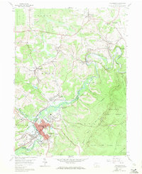
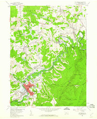
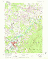
Editions of this 1959 Philipsburg Map
5 editions found
Other maps of this area

1903 · Houtzdale
USGS Topo · 1:62,500

1905 · Houtzdale
USGS Topo · 1:62,500

1922 · Philipsburg
USGS Topo · 1:62,500

1929 · Karthaus
USGS Topo · 1:62,500

1929 · Clearfield
USGS Topo · 1:48,000

1932 · Clearfield
USGS Topo · 1:62,500

1932 · Karthaus
USGS Topo · 1:62,500

1939 · Philipsburg
USGS Topo · 1:62,500

1944 · Houtzdale
USGS Topo · 1:24,000

1945 · Philipsburg
USGS Topo · 1:62,500