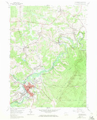
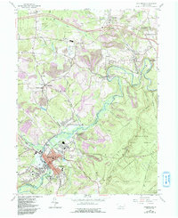
1959 Map of Philipsburg
USGS Topo · Published 1959About this map
Philipsburg sits at the heart of this late-1950s survey, marking a dense residential and commercial hub along the banks of Moshannon Creek. This landscape is defined by its industrial and transit infrastructure, where the Central Railroad of Pennsylvania, New York Central Railroad, and Pennsylvania Railroad converge near Loch Lomond Junction. The map captures a region deeply tied to resource extraction, evidenced by numerous strip mines dotting the hills and the kilns located near Winburne.
Find a feature on this map
78 named features on this map. Tap any name to fly to it.
Don’t see what you’re looking for? This feature index may not catch every label — zoom into the map to look around manually.
Map Details
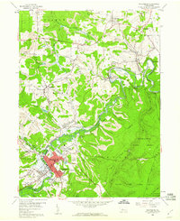
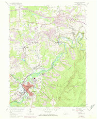
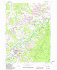
Editions of this 1959 Philipsburg Map
5 editions found
Other maps of this area

1903 · Houtzdale
USGS Topo · 1:62,500

1905 · Houtzdale
USGS Topo · 1:62,500

1922 · Philipsburg
USGS Topo · 1:62,500

1929 · Karthaus
USGS Topo · 1:62,500

1929 · Clearfield
USGS Topo · 1:48,000

1932 · Clearfield
USGS Topo · 1:62,500

1932 · Karthaus
USGS Topo · 1:62,500

1939 · Philipsburg
USGS Topo · 1:62,500

1944 · Houtzdale
USGS Topo · 1:24,000

1945 · Philipsburg
USGS Topo · 1:62,500