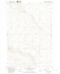
1962 Map of Phinny Hill
USGS Topo · Published 1979About this map
Phinny Hill rises above a landscape defined by deep drainages and cattle-country infrastructure in this 1962 field-checked study. The map detail centers on the rugged transition between the high plateaus and the water-carved depths of Dead Canyon and Tule Canyon. Human presence is marked by a network of ranching roads and remote waypoints, including Mercer Road, Peterson Road, and the isolated Grave located north of Sand Ridge.
Find a feature on this map
21 named features on this map. Tap any name to fly to it.
Don’t see what you’re looking for? This feature index may not catch every label — zoom into the map to look around manually.
Map Details
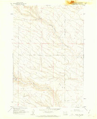
Editions of this 1962 Phinny Hill Map
2 editions found
Other maps of this area

1906 · Blalock Island
USGS Topo · 1:125,000

1908 · Blalock Island
USGS Topo · 1:125,000

1910 · Zillah
USGS Topo · 1:125,000

1915 · Prosser
USGS Topo · 1:125,000

1916 · Arlington
USGS Topo · 1:125,000

1917 · Prosser
USGS Topo · 1:125,000

1950 · Yakima
USGS Topo · 1:250,000

1953 · Pendleton
USGS Topo · 1:250,000

1953 · Walla Walla
USGS Topo · 1:250,000

1953 · The Dalles
USGS Topo · 1:250,000