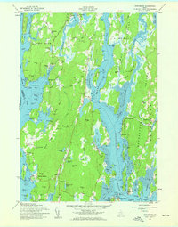
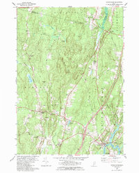
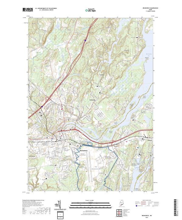
1957 Map of Phippsburg
USGS Topo · Published 1959This historical map portrays the area of Phippsburg in 1957, primarily covering Sagadahoc County as well as portions of Cumberland County. Featuring a scale of 1:24000, this map provides a highly detailed snapshot of the terrain, roads, buildings, counties, and historical landmarks in the Phippsburg region at the time. Published in 1959, it is one of 2 known editions of this map due to revisions or reprints.
Find a feature on this map
114 named features on this map. Tap any name to fly to it.
Don’t see what you’re looking for? This feature index may not catch every label — zoom into the map to look around manually.
Map Details
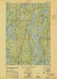
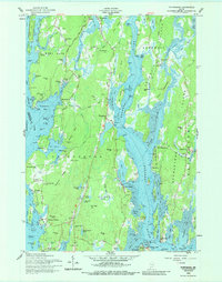
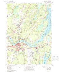
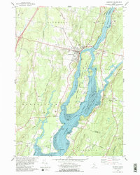
Editions of this 1957 Phippsburg Map
2 editions found
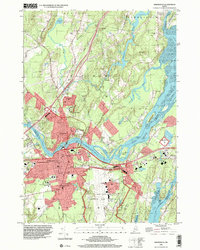
Historical Maps of Marrtown Through Time
13 maps found
1950 Phippsburg
Sagadahoc County, ME
1957 Phippsburg
Sagadahoc County, ME
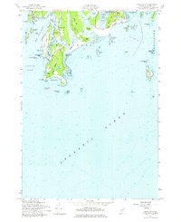
1957 Small Point
Sagadahoc County, ME
1980 Bowdoinham
Sagadahoc County, ME
1980 Brunswick
Sagadahoc County, ME
1980 Richmond
Sagadahoc County, ME
1996 Brunswick
Sagadahoc County, ME
2000 Phippsburg
Sagadahoc County, ME
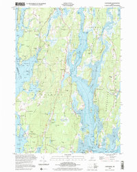
2024 Bowdoinham
Sagadahoc County, ME
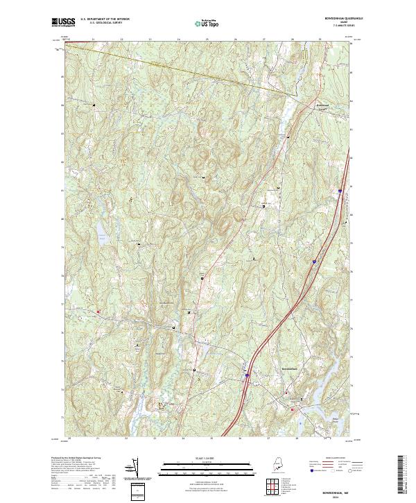
2024 Brunswick
Sagadahoc County, ME
2024 Phippsburg
Sagadahoc County, ME
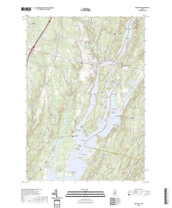
2024 Richmond
Sagadahoc County, ME
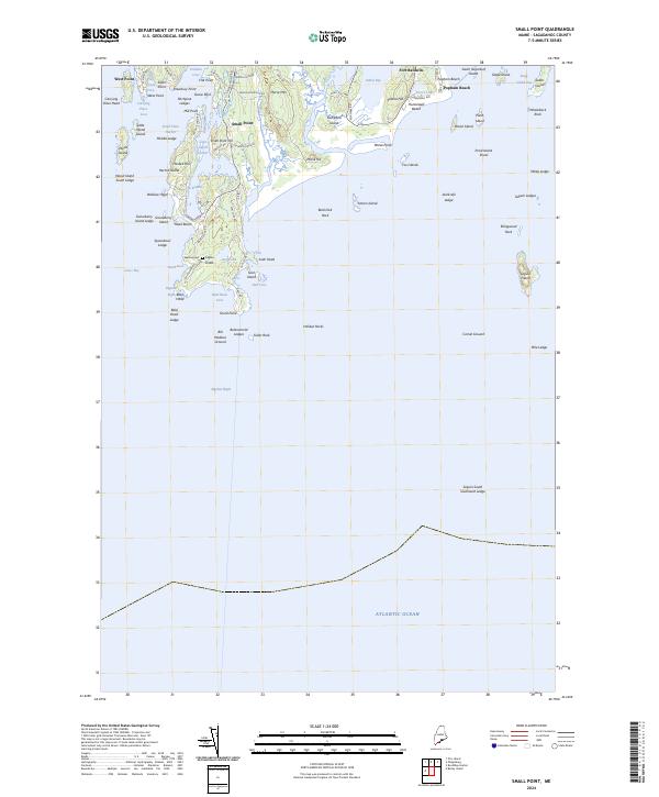
2024 Small Point
Sagadahoc County, ME