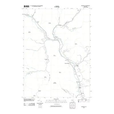
1960 Map of Phoenicia
USGS Topo · Published 1962About this map
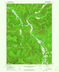
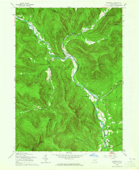
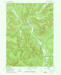
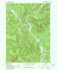
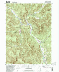
Esopus Creek carves a deep valley through the heart of the Catskill State Forest Preserve in this 1960 revision of the landscape. The geography is defined by narrow settlement corridors where the New York Central railroad and winding roads connect hamlets like Phoenicia and Chichester. The map captures the social infrastructure of these mountain communities through sites like the Shandaken Rural Cem and Our Lady of Good Counsel Ch near Allaben.
Find a feature on this map
48 named features on this map. Tap any name to fly to it.
Don’t see what you’re looking for? This feature index may not catch every label — zoom into the map to look around manually.
Map Details
Editions of this 1960 Phoenicia Map
5 editions found
Historical Maps of Woodstock Through Time
10 maps found

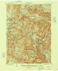
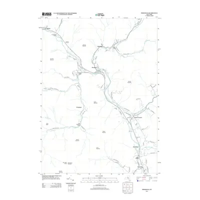
1900 Phoenicia
Ulster County, NY
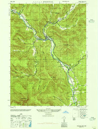
1903 Phoenicia
Ulster County, NY
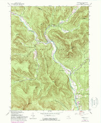
1946 Phoenicia
Ulster County, NY
1960 Phoenicia
Ulster County, NY
1997 Phoenicia
Ulster County, NY
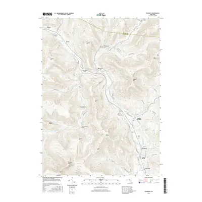
2010 Phoenicia
Ulster County, NY
2013 Phoenicia
Ulster County, NY
2016 Phoenicia
Ulster County, NY
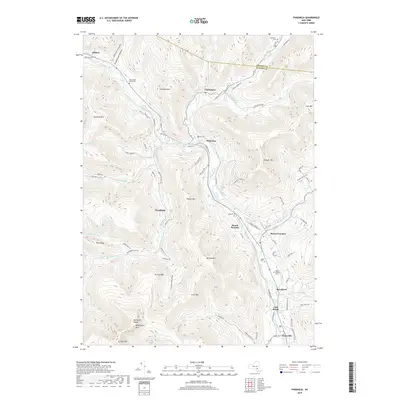
2019 Phoenicia
Ulster County, NY

2023 Phoenicia
Ulster County, NY