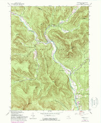
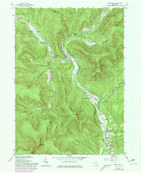
1960 Map of Phoenicia
USGS Topo · Published 1988About this map
Esopus Creek flows through the heart of the Catskill Park, anchoring a landscape of deep valleys and towering peaks like Romer Mountain and Tremper Mtn. In the mid-20th century, the hamlet of Phoenicia served as a central hub where the Stony Clove Creek meets the Esopus, surrounded by small mountain settlements such as Chichester and Mount Pleasant. The geography reflects a mix of seasonal recreation and established local life, featuring a Ski Lift and Campground alongside civic staples like the Onteora Central Sch.
Find a feature on this map
53 named features on this map. Tap any name to fly to it.
Don’t see what you’re looking for? This feature index may not catch every label — zoom into the map to look around manually.
Map Details
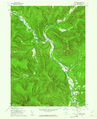
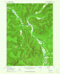
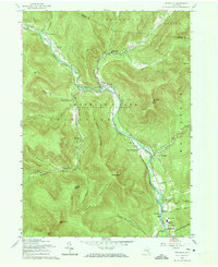
Editions of this 1960 Phoenicia Map
5 editions found
Other maps of this area

1892 · Kaaterskill
USGS Topo · 1:62,500

1893 · Kaaterskill
USGS Topo · 1:62,500

1894 · Kaaterskill
USGS Topo · 1:62,500

1899 · Kaaterskill
USGS Topo · 1:62,500

1900 · Phoenicia
USGS Topo · 1:62,500

1901 · Rosendale
USGS Topo · 1:62,500

1903 · Rosendale
USGS Topo · 1:62,500

1903 · Phoenicia
USGS Topo · 1:62,500

1903 · Kaaterskill
USGS Topo · 1:62,500

1903 · Slide Mountain
USGS Topo · 1:62,500