
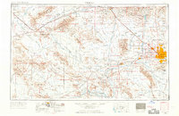
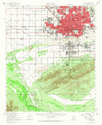
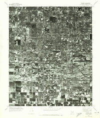
1954 Map of Phoenix
USGS Topo · Published 1964This historical map portrays the area of Phoenix in 1954, primarily covering Maricopa County as well as portions of Pinal County, Yavapai County, Yuma County, and La Paz County. Featuring a scale of 1:250000, this map provides a highly detailed snapshot of the terrain, roads, buildings, counties, and historical landmarks in the Phoenix region at the time. Published in 1964, it is one of 5 known editions of this map due to revisions or reprints.
Find a feature on this map
92 named features on this map. Tap any name to fly to it.
Don’t see what you’re looking for? This feature index may not catch every label — zoom into the map to look around manually.
Map Details
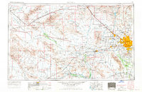
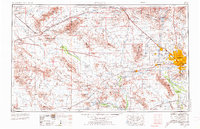
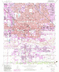
Editions of this 1954 Phoenix Map
5 editions found
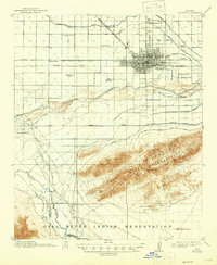
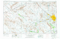
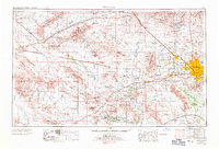
Historical Maps of Avondale Through Time
11 maps found

1912 Phoenix
Maricopa County, AZ
1914 Phoenix
Maricopa County, AZ
1952 Phoenix
Maricopa County, AZ
1952 Phoenix
Maricopa County, AZ
1954 Phoenix
Maricopa County, AZ

1957 Phoenix
Maricopa County, AZ

1958 Phoenix
Maricopa County, AZ

1960 Phoenix
Maricopa County, AZ
1969 Phoenix
Maricopa County, AZ

1971 Phoenix
Maricopa County, AZ
1971 Phoenix
Maricopa County, AZ