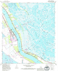
1973 Map of Phoenix
USGS Topo · Published 1994About this map
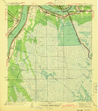
The Mississippi River dominates this portion of Plaquemines Parish, where a thin ribbon of human activity follows the natural levees. Small communities such as Alliance, Phoenix, and Ironton are clustered along the riverbanks, protected by an extensive Levee system. This 1970s landscape reveals the complex drainage network required for habitation in the delta, featuring numerous man-made waterways like the Forty Arpent Canal and the Belair Canal.
Find a feature on this map
39 named features on this map. Tap any name to fly to it.
Don’t see what you’re looking for? This feature index may not catch every label — zoom into the map to look around manually.
Map Details
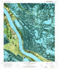
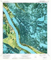
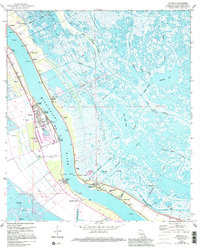
Editions of this 1973 Phoenix Map
4 editions found
Other maps of this area

1891 · Pointe a La Hache
USGS Topo · 1:62,500

1891 · New Orleans
USGS Topo · 1:62,500

1892 · Barataria
USGS Topo · 1:62,500

1892 · St. Bernard
USGS Topo · 1:62,500

1892 · Pointe a La Hache
USGS Topo · 1:62,500

1932 · New Orleans SE
USGS Topo · 1:31,680

1935 · Delacroix
USGS Topo · 1:31,680

1935 · Lake Batola
USGS Topo · 1:31,680

1939 · Pointe a La Hache
USGS Topo · 1:62,500
1940 · Belle Chasse
USGS Topo · 1:31,680