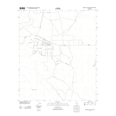
2013 Map of Phone Line Canyon
USGS Topo · Published 2013About this map
The semi-arid high desert landscape of Phone Line Canyon is defined by a sparse but intentional network of water management features and a grid of residential street names. Small earthen reservoirs, identified as tanks, are scattered throughout the terrain, including Sheep Tank in the north and Monument Tank to the south. These features reflect the critical importance of water storage in the Hueco Bolson region of west Texas.
Find a feature on this map
43 named features on this map. Tap any name to fly to it.
Don’t see what you’re looking for? This feature index may not catch every label — zoom into the map to look around manually.
Map Details
Editions of this 2013 Phone Line Canyon Map
This is the sole edition of this map. No revisions or reprints were ever made.
Other maps of this area

1896 · El Paso
USGS Topo · 1:125,000

1903 · Cerro Alto
USGS Topo · 1:125,000

1908 · El Paso
USGS Topo · 1:125,000

1939 · Heuco Tanks
USGS Topo · 1:62,500

1940 · Heuco Tanks
USGS Topo · 1:62,500

1941 · Clint
USGS Topo · 1:62,500

1941 · Heuco Mountains
USGS Topo · 1:62,500

1942 · Borrego
USGS Topo · 1:62,500

1943 · Heuco Mountains
USGS Topo · 1:62,500

1944 · Heuco Tanks
USGS Topo · 1:62,500