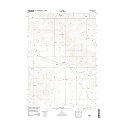
2013 Map of Picabo
USGS Topo · Published 2013About this map
Picabo serves as the central hub of this high-desert agricultural and ranching landscape in southern Idaho. The area is defined by a sophisticated network of irrigation infrastructure, including the Kilpatrick Ditch, Highline Ditch, and Lawson Ditch, which manage water flow across the arid flats. This irrigation system is fed by numerous natural water sources like Silver Creek and various mountain springs, including Picabo Town Spring and Antler Spring.
Find a feature on this map
43 named features on this map. Tap any name to fly to it.
Don’t see what you’re looking for? This feature index may not catch every label — zoom into the map to look around manually.
Map Details
Editions of this 2013 Picabo Map
This is the sole edition of this map. No revisions or reprints were ever made.
Other maps of this area

1955 · Idaho Falls
USGS Topo · 1:250,000

1955 · Hailey
USGS Topo · 1:250,000

1958 · Idaho Falls
USGS Topo · 1:250,000

1959 · Hailey
USGS Topo · 1:250,000

1962 · Hailey
USGS Topo · 1:250,000

1978 · Craters Of The Moon
USGS Topo · 1:100,000
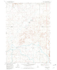
1979 · Tapper Lake
USGS Topo · 1:24,000
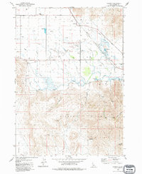
1979 · Gannett
USGS Topo · 1:24,000
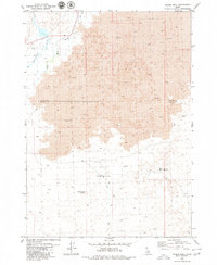
1979 · Pagari Well
USGS Topo · 1:24,000
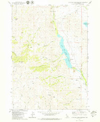
1979 · Little Wood River Reservoir
USGS Topo · 1:24,000