
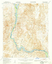
1951 Map of Picacho
USGS Topo · Published 1952About this map
The Colorado River carves a serpentine path through the arid borderlands of Arizona and California in this 1951 record, a landscape defined by industrial extraction and riparian preservation. The river corridor is largely protected by the Imperial National Wildlife Refuge, where backwaters like Taylor Lake, Walker Lake, and Three Fingers Lake create a sharp contrast to the surrounding desert. Evidence of earlier river-based commerce and settlement appears at the Nortons Landing (Site) and the riverside settlement of Picacho, while the nearby Regans Slough highlights the complex hydrology of the valley before modern stabilization.
Find a feature on this map
46 named features on this map. Tap any name to fly to it.
Don’t see what you’re looking for? This feature index may not catch every label — zoom into the map to look around manually.
Map Details
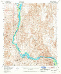
Editions of this 1951 Picacho Map
3 editions found
Other maps of this area

1903 · Yuma
USGS Topo · 1:125,000

1905 · Yuma
USGS Topo · 1:125,000

1929 · Laguna
USGS Topo · 1:62,500

1934 · Trigo Peaks
USGS Topo · 1:48,000

1939 · Red Hill
USGS Topo · 1:62,500

1939 · Trigo Peaks
USGS Topo · 1:62,500

1942 · Yuma
USGS Topo · 1:250,000

1942 · Blythe
USGS Topo · 1:250,000

1943 · Laguna
USGS Topo · 1:62,500

1945 · Picacho Peak
USGS Topo · 1:62,500