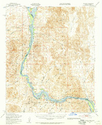
1951 Map of Picacho
USGS Topo · Published 1957About this map
The Colorado River carves a fertile corridor through the arid Chocolate Mountains in this early 1950s survey of the California-Arizona border. This landscape is a patchwork of early industrial remnants and conservation efforts, dominated by the Imperial National Wildlife Refuge. The map documents a historical mining economy along the river, visible through the Clip Mill Site and several named workings like the Red Cloud Mine and Eureka Mine.
Find a feature on this map
49 named features on this map. Tap any name to fly to it.
Don’t see what you’re looking for? This feature index may not catch every label — zoom into the map to look around manually.
Map Details
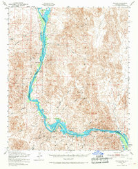
Editions of this 1951 Picacho Map
3 editions found

Other maps of this area

1903 · Yuma
USGS Topo · 1:125,000

1905 · Yuma
USGS Topo · 1:125,000

1929 · Laguna
USGS Topo · 1:62,500

1934 · Trigo Peaks
USGS Topo · 1:48,000

1939 · Red Hill
USGS Topo · 1:62,500

1939 · Trigo Peaks
USGS Topo · 1:62,500

1942 · Yuma
USGS Topo · 1:250,000

1942 · Blythe
USGS Topo · 1:250,000

1943 · Laguna
USGS Topo · 1:62,500

1945 · Picacho Peak
USGS Topo · 1:62,500