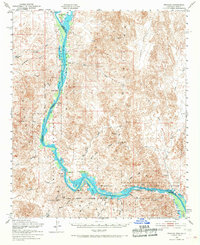
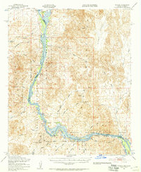
1951 Map of Picacho
USGS Topo · Published 1966About this map
The Colorado River defines the rugged border between Arizona and California, winding through a corridor of lakes and wetlands including Taylor Lake, Ferguson Lake, and Walker Lake. This post-war survey highlights the Imperial National Wildlife Refuge and the legacy of mining in the surrounding Trigo Mountains and Chocolate Mountains. Notable industrial sites like the Red Cloud Mine, Black Rock Mine, and the Clip Mill Site point to a history of hard-rock extraction in this desert landscape.
Find a feature on this map
52 named features on this map. Tap any name to fly to it.
Don’t see what you’re looking for? This feature index may not catch every label — zoom into the map to look around manually.
Map Details
Editions of this 1951 Picacho Map
3 editions found

Other maps of this area

1903 · Yuma
USGS Topo · 1:125,000

1905 · Yuma
USGS Topo · 1:125,000

1929 · Laguna
USGS Topo · 1:62,500

1934 · Trigo Peaks
USGS Topo · 1:48,000

1939 · Red Hill
USGS Topo · 1:62,500

1939 · Trigo Peaks
USGS Topo · 1:62,500

1942 · Yuma
USGS Topo · 1:250,000

1942 · Blythe
USGS Topo · 1:250,000

1943 · Laguna
USGS Topo · 1:62,500

1945 · Picacho Peak
USGS Topo · 1:62,500