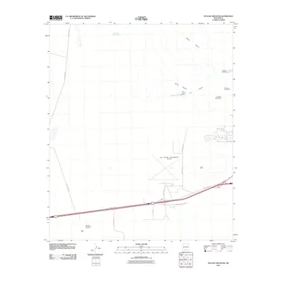
2010 Map of Picacho Mountain
USGS Topo · Published 2010About this map
Picacho Mountain and its surrounding drainage systems dominate this landscape west of the Rio Grande. The 2010 survey highlights a junction of desert aviation and recreation, centered on the expansive Las Cruces International Airport and the nearby Sertoma International Raceway. Water management is a critical theme across this arid terrain, evidenced by structures like the Box Canyon Dam, Picacho North Dam, and Picacho South Dam, which control seasonal runoff through Apache Canyon and Box Canyon.
Find a feature on this map
20 named features on this map. Tap any name to fly to it.
Don’t see what you’re looking for? This feature index may not catch every label — zoom into the map to look around manually.
Map Details
Editions of this 2010 Picacho Mountain Map
This is the sole edition of this map. No revisions or reprints were ever made.
Other maps of this area
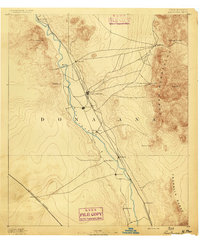
1891 · Las Cruces
USGS Topo · 1:125,000
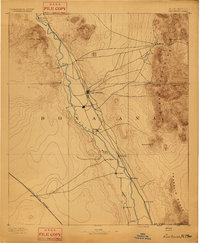
1893 · Las Cruces
USGS Topo · 1:125,000
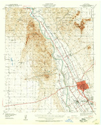
1941 · Las Cruces
USGS Topo · 1:62,500
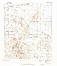
1941 · Aden
USGS Topo · 1:62,500
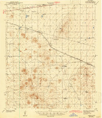
1943 · Aden
USGS Topo · 1:62,500
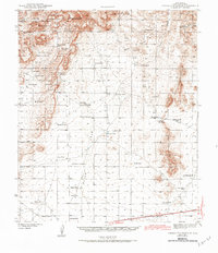
1943 · Corralitos Ranch
USGS Topo · 1:62,500
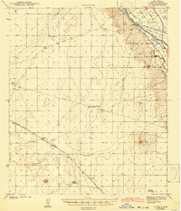
1943 · Afton
USGS Topo · 1:62,500
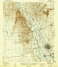
1943 · Las Cruces
USGS Topo · 1:62,500
1955 · Las Cruces
USGS Topo · 1:250,000
1958 · Las Cruces
USGS Topo · 1:250,000