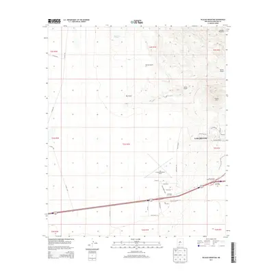
2013 Map of Picacho Mountain
USGS Topo · Published 2013About this map
Las Cruces expansion meets the high desert in this 2013 topographic study, where suburban residential development edges toward the geological features of the west. The landscape is dominated by the volcanic silhouette of Picacho Mtn and the southern reaches of the Robledo Mountains, intersected by deep drainage systems like Box Canyon and Apache Canyon. Transportation and modern infrastructure are central to this area's identity, anchored by the Las Cruces International Airport and a network of arterial roads including Joe Silver Blvd and Harry Burrell Blvd. The contrast between the grid-patterned growth near the Jackrabbit Interchange and the open rangeland containing Hawkins Tank illustrates the ongoing transition of the New Mexico landscape from ranching to a regional aviation and residential hub.
Find a feature on this map
40 named features on this map. Tap any name to fly to it.
Don’t see what you’re looking for? This feature index may not catch every label — zoom into the map to look around manually.
Map Details
Editions of this 2013 Picacho Mountain Map
This is the sole edition of this map. No revisions or reprints were ever made.
Other maps of this area
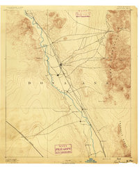
1891 · Las Cruces
USGS Topo · 1:125,000
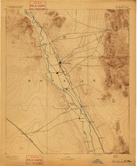
1893 · Las Cruces
USGS Topo · 1:125,000
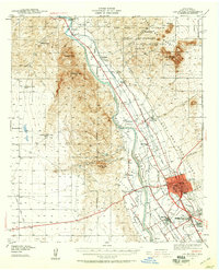
1941 · Las Cruces
USGS Topo · 1:62,500
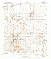
1941 · Aden
USGS Topo · 1:62,500
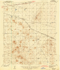
1943 · Aden
USGS Topo · 1:62,500
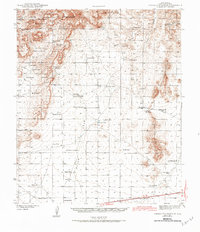
1943 · Corralitos Ranch
USGS Topo · 1:62,500
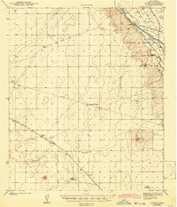
1943 · Afton
USGS Topo · 1:62,500
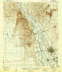
1943 · Las Cruces
USGS Topo · 1:62,500
1955 · Las Cruces
USGS Topo · 1:250,000
1958 · Las Cruces
USGS Topo · 1:250,000