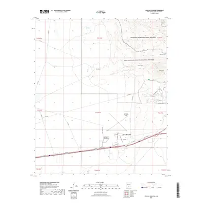
2020 Map of Picacho Mountain
USGS Topo · Published 2020About this map
Las Cruces and its surrounding high-desert terrain are defined here by a mix of aviation infrastructure and federal conservation lands. The western edge of the city is anchored by the Las Cruces International Airport, featuring its distinct triangular runway configuration. To the north and east, the landscape rises into the Robledo Mountains and contains significant portions of the Prehistoric Trackways National Monument, established to protect paleozoic fossil tracks.
Find a feature on this map
45 named features on this map. Tap any name to fly to it.
Don’t see what you’re looking for? This feature index may not catch every label — zoom into the map to look around manually.
Map Details
Editions of this 2020 Picacho Mountain Map
This is the sole edition of this map. No revisions or reprints were ever made.
Other maps of this area
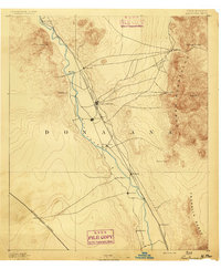
1891 · Las Cruces
USGS Topo · 1:125,000
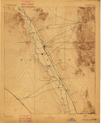
1893 · Las Cruces
USGS Topo · 1:125,000
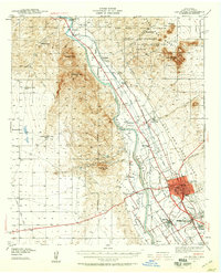
1941 · Las Cruces
USGS Topo · 1:62,500
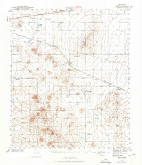
1941 · Aden
USGS Topo · 1:62,500
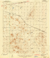
1943 · Aden
USGS Topo · 1:62,500
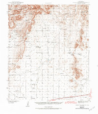
1943 · Corralitos Ranch
USGS Topo · 1:62,500
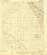
1943 · Afton
USGS Topo · 1:62,500
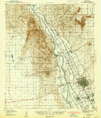
1943 · Las Cruces
USGS Topo · 1:62,500
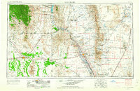
1955 · Las Cruces
USGS Topo · 1:250,000
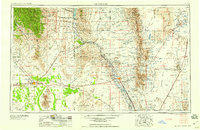
1958 · Las Cruces
USGS Topo · 1:250,000