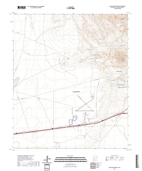
2023 Map of Picacho Mountain
USGS Topo · Published 2023About this map
The western outskirts of Las Cruces meet the high desert and rugged volcanic terrain of the Robledo Mountains in this modern topographic record. The landscape is dominated by large-scale conservation areas, including the Prehistoric Trackways National Monument and the Organ Mountains-Desert Peaks National Monument, preserving significant geologic and paleontological sites. Settlement is concentrated in the suburban expansion of Picacho Hills and the facilities surrounding the Las Cruces International Airport, which serves as a central hub for transportation and logistics in Doña Ana County.
Find a feature on this map
53 named features on this map. Tap any name to fly to it.
Don’t see what you’re looking for? This feature index may not catch every label — zoom into the map to look around manually.
Map Details
Editions of this 2023 Picacho Mountain Map
This is the sole edition of this map. No revisions or reprints were ever made.
Other maps of this area

1891 · Las Cruces
USGS Topo · 1:125,000

1893 · Las Cruces
USGS Topo · 1:125,000

1941 · Las Cruces
USGS Topo · 1:62,500

1941 · Aden
USGS Topo · 1:62,500

1943 · Aden
USGS Topo · 1:62,500

1943 · Corralitos Ranch
USGS Topo · 1:62,500

1943 · Afton
USGS Topo · 1:62,500

1943 · Las Cruces
USGS Topo · 1:62,500

1955 · Las Cruces
USGS Topo · 1:250,000

1958 · Las Cruces
USGS Topo · 1:250,000