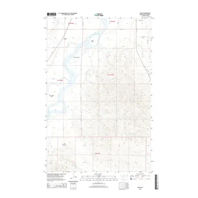
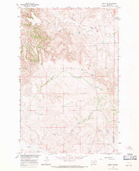
2014 Map of Piche
USGS Topo · Published 2014About this map
The Yellowstone River snakes through the northwest corner of this Richland County landscape, defining a complex riparian environment marked by numerous islands and side channels. Buella Island, Diamond Island, and Seven Sisters Island dominate the river's path, reflecting the shifting alluvial nature of the waterway. The settlement of Piche sits near the riverbank, supported by a network of county roads including CR-118 and CR-350.
Find a feature on this map
25 named features on this map. Tap any name to fly to it.
Don’t see what you’re looking for? This feature index may not catch every label — zoom into the map to look around manually.
Map Details
Editions of this 2014 Piche Map
This is the sole edition of this map. No revisions or reprints were ever made.
Other maps of this area
1909 · Glendive
USGS Topo · 1:250,000

1954 · Glendive
USGS Topo · 1:250,000

1957 · Glendive
USGS Topo · 1:250,000
1958 · Glendive
USGS Topo · 1:250,000
1966 · Savage
USGS Topo · 1:24,000
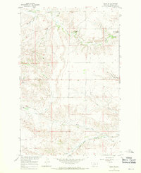
1966 · Crane NE
USGS Topo · 1:24,000
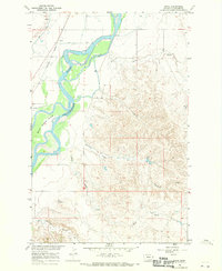
1966 · Piche
USGS Topo · 1:24,000
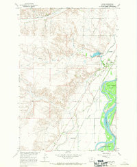
1966 · Crane
USGS Topo · 1:24,000
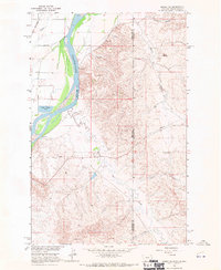
1966 · Sidney NE
USGS Topo · 1:24,000
1966 · Skaar NW
USGS Topo · 1:24,000