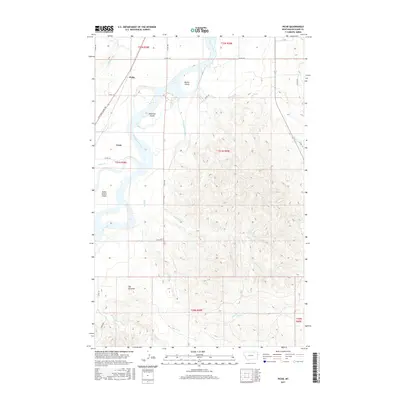
2017 Map of Piche
USGS Topo · Published 2017About this map
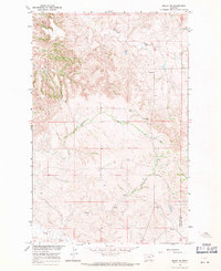
The Yellowstone River snakes through this Richland County landscape, defining the character of the river valley near the settlements of Piche and Crane. The complex riparian environment is marked by significant landforms such as Buella Island, Diamond Island, and Seven Sisters Island, which sit alongside the Main Canal irrigation network. This eastern Montana terrain exhibits a sharp contrast between the irrigated valley floor and the dissected uplands to the east, where numerous drainages like O'Brien Cr and Sagebrush Cr cut through the high ground. Historical transit is etched into the land via the Lewis and Clark Trl, which follows the western bank. Further inland, the topography rises toward distinctive landmarks like The Pyramid, surrounded by a network of seasonal watercourses including Shadwell Cr and Alkali Cr.
Find a feature on this map
32 named features on this map. Tap any name to fly to it.
Don’t see what you’re looking for? This feature index may not catch every label — zoom into the map to look around manually.
Map Details
Editions of this 2017 Piche Map
This is the sole edition of this map. No revisions or reprints were ever made.
Other maps of this area
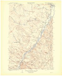
1909 · Glendive
USGS Topo · 1:250,000

1954 · Glendive
USGS Topo · 1:250,000

1957 · Glendive
USGS Topo · 1:250,000
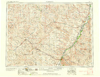
1958 · Glendive
USGS Topo · 1:250,000
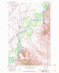
1966 · Savage
USGS Topo · 1:24,000
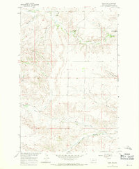
1966 · Crane NE
USGS Topo · 1:24,000
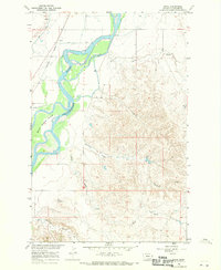
1966 · Piche
USGS Topo · 1:24,000
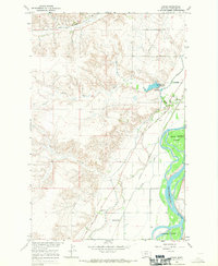
1966 · Crane
USGS Topo · 1:24,000
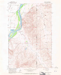
1966 · Sidney NE
USGS Topo · 1:24,000
1966 · Skaar NW
USGS Topo · 1:24,000