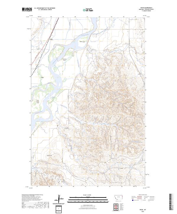
2024 Map of Piche
USGS Topo · Published 2024About this map
The Yellowstone River winds through this landscape, defining the local geography with its braided channels and large islands like Diamond Island and Seven Sisters Island. The irrigation network, including the Main Canal, supports the agricultural land surrounding the small settlements of Piche and Crane. Away from the river, the terrain shifts into a series of deeply eroded coulees and breaks drained by seasonally active waters such as Sagebrush Creek and Alkali Creek.
Find a feature on this map
27 named features on this map. Tap any name to fly to it.
Don’t see what you’re looking for? This feature index may not catch every label — zoom into the map to look around manually.
Map Details
Editions of this 2024 Piche Map
This is the sole edition of this map. No revisions or reprints were ever made.
Other maps of this area

1909 · Glendive
USGS Topo · 1:250,000

1954 · Glendive
USGS Topo · 1:250,000

1957 · Glendive
USGS Topo · 1:250,000

1958 · Glendive
USGS Topo · 1:250,000

1966 · Savage
USGS Topo · 1:24,000

1966 · Crane NE
USGS Topo · 1:24,000

1966 · Piche
USGS Topo · 1:24,000

1966 · Crane
USGS Topo · 1:24,000

1966 · Sidney NE
USGS Topo · 1:24,000

1966 · Skaar NW
USGS Topo · 1:24,000