2022 Map of Picher
USGS Topo · Published 2022About this map
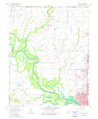
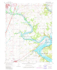
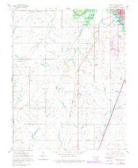
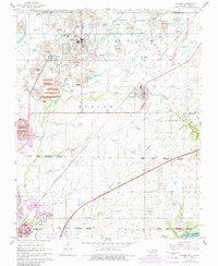
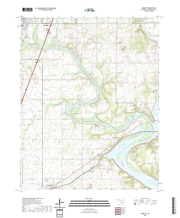
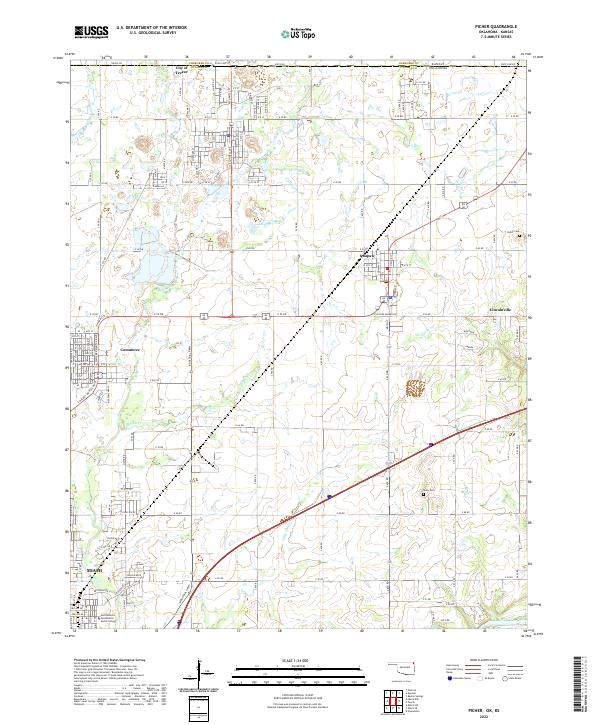
Miami sits at the southern edge of this modern survey, anchoring a region defined by its industrial history and crossroads geography near the Kansas-Oklahoma border. The landscape is marked by the legacy of mining, with significant water features like Tar Cr and Garrett Cr flowing through the terrain. To the north, the City of Treece remains a notable marker on the state line, while Quapaw and Commerce serve as central points of settlement along the arterial roads. The presence of Northeastern Oklahoma A and M College in the southwest corner indicates the area's role as a regional hub for education.
Find a feature on this map
50 named features on this map. Tap any name to fly to it.
Don’t see what you’re looking for? This feature index may not catch every label — zoom into the map to look around manually.
Map Details
Editions of this 2022 Picher Map
This is the sole edition of this map. No revisions or reprints were ever made.
Historical Maps of Miami Through Time
10 maps found