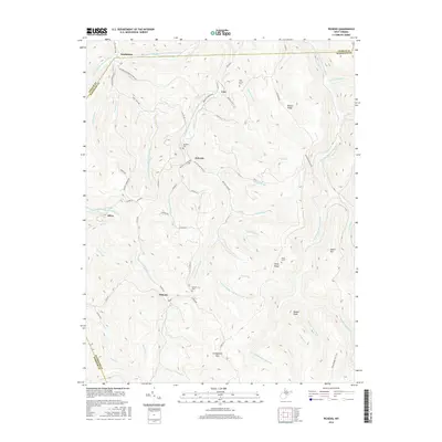
2016 Map of Pickens
USGS Topo · Published 2016About this map
The mountain village of Helvetia remains a focal point of this high-altitude landscape in the Allegheny Mountains, where the West Virginia highland tradition is etched into the terrain. The network of waterways, including the Right Fork Buckhannon River and the Middle Fork Right-Fork Buckhannon River, dictates the settlement patterns and road placements, such as the Old Helvetia-Newlonton Rd. To the south, the community of Pickens sits near the headwaters of the Marsh Fork, while smaller settlements like Czar and Silica occupy narrow valleys between high ridges. Genealogists will find several burial grounds noted, including the Helvetia Cem and Pickens Cem, alongside family landmarks like Hicks Ridge and Palace Ridge. The map's steep contouring illustrates the geographic isolation of these timber and mountain-farming communities, separated by peaks such as Turkeybone Mtn and Beech Mtn.
Find a feature on this map
68 named features on this map. Tap any name to fly to it.
Don’t see what you’re looking for? This feature index may not catch every label — zoom into the map to look around manually.
Map Details
Editions of this 2016 Pickens Map
This is the sole edition of this map. No revisions or reprints were ever made.
Other maps of this area

1893 · Buckhannon
USGS Topo · 1:125,000

1896 · Buckhannon
USGS Topo · 1:125,000

1897 · Buckhannon
USGS Topo · 1:125,000

1912 · Sago
USGS Topo · 1:48,000

1912 · Crawford
USGS Topo · 1:48,000

1913 · Hacker Valley
USGS Topo · 1:48,000

1913 · Pickens
USGS Topo · 1:48,000

1914 · Sago
USGS Topo · 1:62,500

1914 · Crawford
USGS Topo · 1:62,500

1915 · Hacker Valley
USGS Topo · 1:62,500