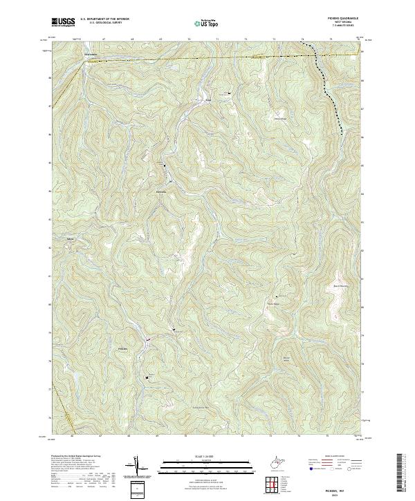
2023 Map of Pickens
USGS Topo · Published 2023About this map
The community of Helvetia anchors this section of West Virginia, where Swiss-German heritage is reflected in the winding network of roads like Old Helvetia-Newlonton Rd and Helvetia-Adolph Rd. The landscape is defined by the high ridges of Turkeybone Mtn and Beech Mountain, deeply dissected by the intricate headwaters of the Left Fork Right Fork Buckhannon River and Middle Fork Right Fork Buckhannon River.
Find a feature on this map
68 named features on this map. Tap any name to fly to it.
Don’t see what you’re looking for? This feature index may not catch every label — zoom into the map to look around manually.
Map Details
Editions of this 2023 Pickens Map
This is the sole edition of this map. No revisions or reprints were ever made.
Other maps of this area

1893 · Buckhannon
USGS Topo · 1:125,000

1896 · Buckhannon
USGS Topo · 1:125,000

1897 · Buckhannon
USGS Topo · 1:125,000

1912 · Sago
USGS Topo · 1:48,000

1912 · Crawford
USGS Topo · 1:48,000

1913 · Hacker Valley
USGS Topo · 1:48,000

1913 · Pickens
USGS Topo · 1:48,000

1914 · Sago
USGS Topo · 1:62,500

1914 · Crawford
USGS Topo · 1:62,500

1915 · Hacker Valley
USGS Topo · 1:62,500