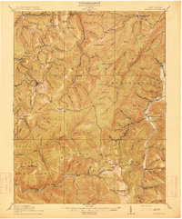
1915 Map of Pickens
USGS Topo · Published 1915About this map
Pickens stands as a primary hub for the Lumber RR during this peak era of West Virginia timber extraction. The map reveals a landscape defined by the drainage divide between the Middle Fork Buckhannon River and the Elk River, where steep topography dictated the placement of isolated settlements like the Swiss colony of Helvetia. Local life is anchored by a dense network of one-room schoolhouses, including the Haslebacher School, Turkeybone School, and Lewis School, serving families across the high ridges of Beech Mountain and Turkeybone Mountain. To the east, the Tygart River valley hosts the post office at Adolph P.O. and the community of Valley Head. The presence of Coalbank and various logging spurs indicates the industrial transition taking place as natural resources were accessed via the winding rail lines and river forks.
Find a feature on this map
95 named features on this map. Tap any name to fly to it.
Don’t see what you’re looking for? This feature index may not catch every label — zoom into the map to look around manually.
Map Details
Editions of this 1915 Pickens Map
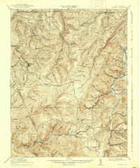
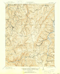
4 editions found

Other maps of this area

1889 · Beverly
USGS Topo · 1:125,000

1891 · Huntersville
USGS Topo · 1:125,000

1892 · Beverly
USGS Topo · 1:125,000

1893 · Buckhannon
USGS Topo · 1:125,000

1894 · Huntersville
USGS Topo · 1:125,000

1896 · Buckhannon
USGS Topo · 1:125,000

1897 · Buckhannon
USGS Topo · 1:125,000

1901 · Monterey
USGS Topo · 1:125,000

1909 · Elkins
USGS Topo · 1:62,500

1912 · Sago
USGS Topo · 1:48,000