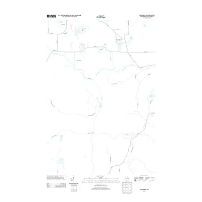
2013 Map of Pickerel
USGS Topo · Published 2013About this map
The settlement of Pickerel and the expansive Camp Ma-Ka-Ja-Wan grounds anchor this northern Wisconsin landscape in the early 21st century. The terrain is defined by a dense network of glacial water bodies, including Big Twin Lake, Little Twin Lake, and Hindu Lake, alongside the winding course of the Wolf River. A significant cultural and geographic feature is the Ice Age Natl Scenic Trl, which traverses the southern portion of the map, tracing the terminal moraine left by ancient glaciers. Transport and access are facilitated by Wi-55 and Wi-52, which connect these remote lake properties and camps to the broader Langlade County area. The map records several named springs such as Augustyn Springs and Harper Springs, indicating the high water table and glacial geology that characterize this recreation-rich region of the Northwoods.
Find a feature on this map
41 named features on this map. Tap any name to fly to it.
Don’t see what you’re looking for? This feature index may not catch every label — zoom into the map to look around manually.
Map Details
Editions of this 2013 Pickerel Map
This is the sole edition of this map. No revisions or reprints were ever made.
Other maps of this area

1942 · Elcho
USGS Topo · 1:48,000

1942 · Pearson
USGS Topo · 1:48,000

1950 · Elcho
USGS Topo · 1:48,000

1950 · Lily
USGS Topo · 1:48,000

1952 · Antigo
USGS Topo · 1:48,000

1952 · White Lake
USGS Topo · 1:48,000

1954 · Iron Mountain
USGS Topo · 1:250,000

1959 · Iron Mountain
USGS Topo · 1:250,000
1973 · Roberts Lake
USGS Topo · 1:24,000
1973 · Bryant
USGS Topo · 1:24,000