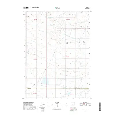
2017 Map of Picket Lake
USGS Topo · Published 2017About this map
Saint Marys Peak and the surrounding high country of the Antelope Hills dominate this portion of the Red Desert, where the county line between Fremont and Sweetwater counties crosses a landscape defined by seasonal drainages and vital water sources. The map reveals a sophisticated network of ephemeral creeks and named springs, such as Saint Marys Spring, P B Spring, and Horse Track Spring, which have long been essential for livestock and wildlife in this arid region. The southern portion of the quadrangle features a collection of small basins including Picket Lake, Murray Lake, and McKay Lake. Human presence is marked primarily by transport routes like the Riverview Cutoff and Red Creek Rd, alongside several BLM access roads, illustrating the land's use for resource management and ranching.
Find a feature on this map
27 named features on this map. Tap any name to fly to it.
Don’t see what you’re looking for? This feature index may not catch every label — zoom into the map to look around manually.
Map Details
Editions of this 2017 Picket Lake Map
This is the sole edition of this map. No revisions or reprints were ever made.
Other maps of this area
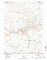
1953 · Lewiston Lakes
USGS Topo · 1:24,000
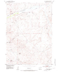
1953 · Barras Springs
USGS Topo · 1:24,000
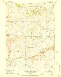
1953 · Radium Springs
USGS Topo · 1:24,000

1955 · Lander
USGS Topo · 1:250,000

1958 · Lander
USGS Topo · 1:250,000
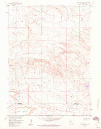
1958 · Circle Bar Lake
USGS Topo · 1:24,000
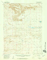
1958 · The Pinnacles
USGS Topo · 1:62,500
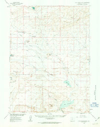
1960 · Five Fingers Butte
USGS Topo · 1:62,500

1961 · Lander
USGS Topo · 1:250,000
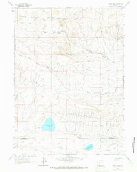
1961 · Picket Lake
USGS Topo · 1:24,000