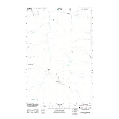
2011 Map of Picket Pin Mountain
USGS Topo · Published 2011About this map
Picket Pin Mountain dominates this high-altitude landscape in Sweet Grass County, where the topography is defined by the headwaters of numerous waterways. The East Boulder River carves a path through the western portion of the map, fed by high basins and steep drainages like Canyon Creek and Brownlee Creek. This area illustrates a classic mountain hydrology, with glacial-fed water bodies such as North Picket Pin Lake and South Picket Pin Lake situated near the divide.
Find a feature on this map
24 named features on this map. Tap any name to fly to it.
Don’t see what you’re looking for? This feature index may not catch every label — zoom into the map to look around manually.
Map Details
Editions of this 2011 Picket Pin Mountain Map
This is the sole edition of this map. No revisions or reprints were ever made.
Other maps of this area

1891 · Livingston
USGS Topo · 1:250,000

1891 · Big Timber
USGS Topo · 1:125,000

1893 · Livingston
USGS Topo · 1:250,000

1893 · Big Timber
USGS Topo · 1:125,000

1898 · Granite Mountain District
USGS Topo · 1:125,000

1932 · Nye No 2
USGS Topo · 1:48,000

1939 · Mt Wood
USGS Topo · 1:62,500

1941 · Mt. Wood
USGS Topo · 1:62,500

1941 · Mt Douglas
USGS Topo · 1:62,500

1943 · Mt Douglas
USGS Topo · 1:62,500