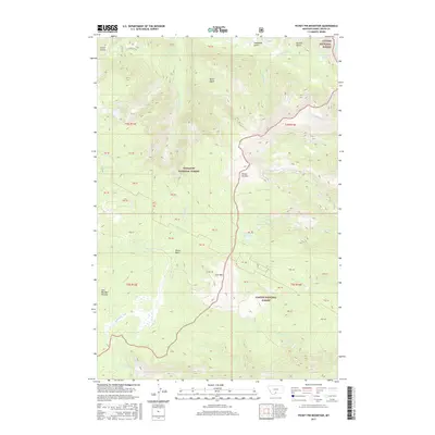
2017 Map of Picket Pin Mountain
USGS Topo · Published 2017About this map
Picket Pin Mtn stands as a central landmark in this high-elevation region of Montana, where the boundaries of the Custer National Forest and Gallatin National Forest meet. The landscape is defined by its complex drainage systems and alpine basins, including the notable Placer Basin and the expansive East Boulder Plateau. Water sources are abundant across the terrain, with the E Boulder River and its various tributaries such as Forge Cr and Canyon Cr carving through the mountain passes. The map identifies several secluded alpine lakes, including Moccasin Lake, Divide Creek Lake, and the tandem N Picket Pin Lake and S Picket Pin Lake. These features, alongside named points like Iron Mtn, suggest a history of prospecting and remote high-country activity common to the Sweet Grass County wilderness. The lack of major modern infrastructure underscores the preserved nature of these national forest lands in the early twenty-first century.
Find a feature on this map
33 named features on this map. Tap any name to fly to it.
Don’t see what you’re looking for? This feature index may not catch every label — zoom into the map to look around manually.
Map Details
Editions of this 2017 Picket Pin Mountain Map
This is the sole edition of this map. No revisions or reprints were ever made.
Other maps of this area
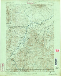
1891 · Livingston
USGS Topo · 1:250,000
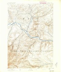
1891 · Big Timber
USGS Topo · 1:125,000
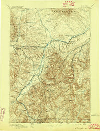
1893 · Livingston
USGS Topo · 1:250,000
1893 · Big Timber
USGS Topo · 1:125,000
1898 · Granite Mountain District
USGS Topo · 1:125,000
1932 · Nye No 2
USGS Topo · 1:48,000
1939 · Mt Wood
USGS Topo · 1:62,500
1941 · Mt. Wood
USGS Topo · 1:62,500
1941 · Mt Douglas
USGS Topo · 1:62,500
1943 · Mt Douglas
USGS Topo · 1:62,500