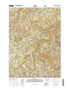
2017 Map of Pickett Butte
USGS Topo · Published 2017About this map
Pickett Butte and the surrounding high country of the Umpqua National Forest define this landscape in Douglas County. The terrain is characterized by a network of drainage systems, with the South Umpqua River and Jackson Creek serving as primary watercourses. This map reveals a complex system of forestry and access routes, including Devils Knob Rd and numerous specialized trails like the Sumpter TS and Winters TS. Distinctive open spaces such as Pickett Prairie, Hamlin Prairie, and the Bunchgrass Meadows are interspersed between prominent elevations like Coffin Butte and Collins Ridge. The density of named creeks, from Allan Cr to Pipestone Cr, highlights the intricate watershed management and recreational geography of this protected wilderness area during the early twenty-first century.
Find a feature on this map
54 named features on this map. Tap any name to fly to it.
Don’t see what you’re looking for? This feature index may not catch every label — zoom into the map to look around manually.
Map Details
Editions of this 2017 Pickett Butte Map
This is the sole edition of this map. No revisions or reprints were ever made.
Other maps of this area
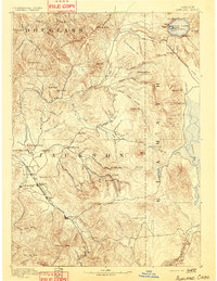
1891 · Ashland
USGS Topo · 1:250,000
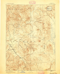
1893 · Ashland
USGS Topo · 1:250,000
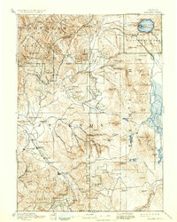
1897 · Ashland
USGS Topo · 1:250,000
1944 · Tiller
USGS Topo · 1:62,500
1944 · Abbott Butte
USGS Topo · 1:62,500
1947 · Abbott Butte
USGS Topo · 1:62,500
1955 · Quartz Mtn
USGS Topo · 1:62,500
1955 · Red Butte
USGS Topo · 1:62,500

1955 · Medford
USGS Topo · 1:250,000
1957 · Medford
USGS Topo · 1:250,000