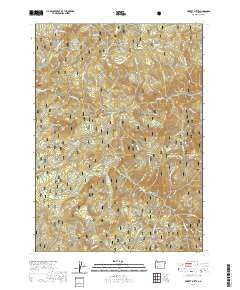
2020 Map of Pickett Butte
USGS Topo · Published 2020About this map
Umpqua National Forest defines the landscape of this high-elevation region in Douglas County, where the South Umpqua River and Jackson Creek carve deep drainages through the Cascades. The terrain is characterized by prominent peaks and open clearings, including Pickett Butte and the nearby Pickett Prairie. To the east, Coffin Butte stands above Bunchgrass Meadows, while Hamlin Prairie lies to the south, reflecting the varied topography of this forest environment.
Find a feature on this map
51 named features on this map. Tap any name to fly to it.
Don’t see what you’re looking for? This feature index may not catch every label — zoom into the map to look around manually.
Map Details
Editions of this 2020 Pickett Butte Map
This is the sole edition of this map. No revisions or reprints were ever made.
Other maps of this area

1891 · Ashland
USGS Topo · 1:250,000

1893 · Ashland
USGS Topo · 1:250,000

1897 · Ashland
USGS Topo · 1:250,000

1944 · Tiller
USGS Topo · 1:62,500

1944 · Abbott Butte
USGS Topo · 1:62,500

1947 · Abbott Butte
USGS Topo · 1:62,500

1955 · Quartz Mtn
USGS Topo · 1:62,500

1955 · Red Butte
USGS Topo · 1:62,500

1955 · Medford
USGS Topo · 1:250,000

1957 · Medford
USGS Topo · 1:250,000