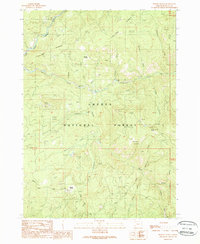
1989 Map of Pickett Butte
USGS Topo · Published 1990About this map
The South Umpqua River carves through the northwestern corner of this territory, where the Gaging Station monitors the flow near the base of Collins Ridge. This late-twentieth-century survey reveals a landscape primarily defined by the Umpqua National Forest, where resource management and early settlement history intersect. Pockets of open land like Pickett Prairie and Hamlin Prairie stand out against the wooded slopes, while Nichols Ranch indicates the presence of established family holdings along Nichols Creek.
Find a feature on this map
33 named features on this map. Tap any name to fly to it.
Don’t see what you’re looking for? This feature index may not catch every label — zoom into the map to look around manually.
Map Details
Editions of this 1989 Pickett Butte Map
This is the sole edition of this map. No revisions or reprints were ever made.
Other maps of this area

1891 · Ashland
USGS Topo · 1:250,000

1893 · Ashland
USGS Topo · 1:250,000

1897 · Ashland
USGS Topo · 1:250,000

1944 · Tiller
USGS Topo · 1:62,500

1944 · Abbott Butte
USGS Topo · 1:62,500

1947 · Abbott Butte
USGS Topo · 1:62,500

1955 · Quartz Mtn
USGS Topo · 1:62,500

1955 · Red Butte
USGS Topo · 1:62,500

1955 · Medford
USGS Topo · 1:250,000

1957 · Medford
USGS Topo · 1:250,000