
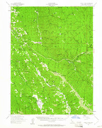
1954 Map of Pickett Peak
USGS Topo · Published 1956About this map
The South Fork Trinity River and Mad River cut through the rugged northern California interior in this mid-century survey of Trinity County. The small community of Hettenshaw serves as a focal point for local history, featuring the Valley Hettenshaw School and the Gilman Cem. The landscape is a mix of working ranch land and resource extraction, evidenced by sites like the Feldmiller Ranch, Stapp Ranch, and a prominent Lumber Mill.
Find a feature on this map
99 named features on this map. Tap any name to fly to it.
Don’t see what you’re looking for? This feature index may not catch every label — zoom into the map to look around manually.
Map Details
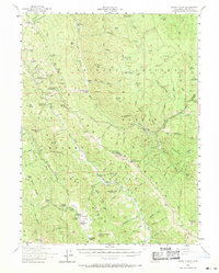
Editions of this 1954 Pickett Peak Map
3 editions found
Other maps of this area

1909 · Big Bar
USGS Topo · 1:96,000

1914 · Pilot Creek
USGS Topo · 1:62,500

1915 · Big Bar and Vicinity
USGS Topo · 1:250,000

1918 · Anada
USGS Topo · 1:62,500

1920 · Harris
USGS Topo · 1:62,500

1921 · Hoaglin
USGS Topo · 1:62,500

1922 · Island Mountain
USGS Topo · 1:62,500

1931 · Hoaglin
USGS Topo · 1:96,000

1935 · Hoaglin
USGS Topo · 1:125,000

1949 · Blocksburg
USGS Topo · 1:62,500