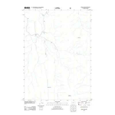
2012 Map of Pickle Pass
USGS Topo · Published 2012About this map
Pickle Pass serves as a high-altitude waypoint in this high Wyoming wilderness, where the headwaters of the Little Greys River begin their descent. The landscape is defined by its complex drainage network, including Blind Trail Cr and the S Fork Little Greys River, which suggest a long history of traditional transit routes through the Bridger-Teton region. The topographic detail captures the convergence of numerous named streams such as Willow Cr and Middle Cr as they navigate the ridges near Deadman Mountain. High mountain crossings like Telephone Pass and topographic features such as Long Draw highlight the essential corridors used for movement across this isolated terrain in the early 21st century. This map offers a technical look at the hydrological patterns that have shaped the county's backcountry use, from early forest service management to modern recreation.
Find a feature on this map
21 named features on this map. Tap any name to fly to it.
Don’t see what you’re looking for? This feature index may not catch every label — zoom into the map to look around manually.
Map Details
Editions of this 2012 Pickle Pass Map
This is the sole edition of this map. No revisions or reprints were ever made.
Other maps of this area
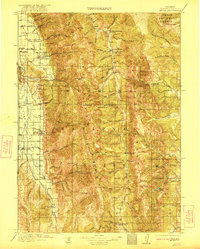
1921 · Afton
USGS Topo · 1:125,000
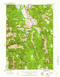
1931 · Jackson
USGS Topo · 1:125,000
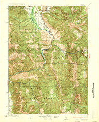
1935 · Jackson
USGS Topo · 1:125,000

1955 · Driggs
USGS Topo · 1:250,000

1955 · Preston
USGS Topo · 1:250,000
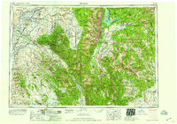
1958 · Driggs
USGS Topo · 1:250,000

1958 · Preston
USGS Topo · 1:250,000
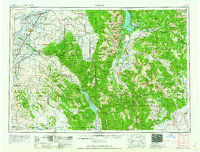
1962 · Driggs
USGS Topo · 1:250,000

1962 · Preston
USGS Topo · 1:250,000
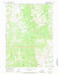
1965 · Pickle Pass
USGS Topo · 1:24,000