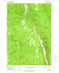
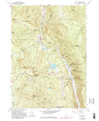
1961 Map of Pico Peak
USGS Topo · Published 1964About this map
Pico Peak dominates this landscape, rising above a network of ridgelines and valley settlements in the early 1960s. The intersection of the Long Trail and the Appalachian Trail at Sherburne Pass marks a critical node for hikers and mountain travelers, while the rugged terrain is protected within the Green Mountain National Forest and Gifford Woods State Forest Park. In the eastern valley, the Ottauquechee River provides the primary corridor for travel and settlement, connecting Sherburne Center and North Sherburne. Local life is anchored by the Sherburne Valley Sch and Riverside Cem along the riverbank. This era of mapping documents the early development of ski lifts on the slopes of Pico, illustrating the shift toward seasonal recreation alongside the traditional forest and river economies.
Find a feature on this map
33 named features on this map. Tap any name to fly to it.
Don’t see what you’re looking for? This feature index may not catch every label — zoom into the map to look around manually.
Map Details
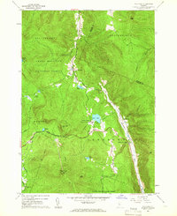
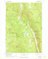
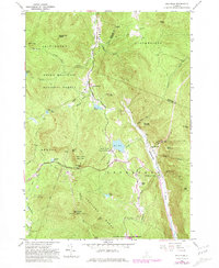
Editions of this 1961 Pico Peak Map
5 editions found
Other maps of this area

1891 · Rutland
USGS Topo · 1:62,500

1893 · Rutland
USGS Topo · 1:62,500

1911 · Woodstock
USGS Topo · 1:62,500

1913 · Woodstock
USGS Topo · 1:62,500

1915 · Rochester
USGS Topo · 1:62,500

1917 · Rochester
USGS Topo · 1:62,500

1919 · Royalton
USGS Topo · 1:62,500

1924 · Randolph
USGS Topo · 1:48,000

1926 · Randolph
USGS Topo · 1:62,500

1943 · Woodstock
USGS Topo · 1:62,500