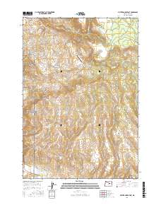
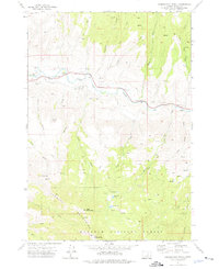
2017 Map of Picture Gorge East
USGS Topo · Published 2017About this map
John Day Fossil Beds National Monument protects a complex landscape of geological history and fossil-bearing strata, particularly evident in areas like Turtle Cove and the Big Basin. The terrain is defined by dramatic elevation changes, where peaks such as Rudio Mtn and the distinctively named Sugarloaf overlook deep erosional features like Picture Gorge. Water from the John Day River and various tributaries, including Johnny Cr and Ferris Cr, has carved through the volcanic layers, creating landmarks such as Hole in the Ground and Waterspout Gulch. While largely a natural preserve, human presence is noted at Land's Inn Ranch Airport and along various access roads like Dick Creek Rd. This map reveals the intersection of modern ranching and conservation within a region defined by its ancient paleontological record.
Find a feature on this map
32 named features on this map. Tap any name to fly to it.
Don’t see what you’re looking for? This feature index may not catch every label — zoom into the map to look around manually.
Map Details
Editions of this 2017 Picture Gorge East Map
This is the sole edition of this map. No revisions or reprints were ever made.
Other maps of this area
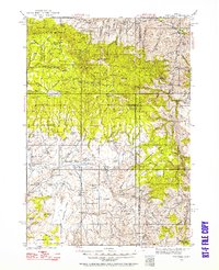
1932 · Dayville
USGS Topo · 1:125,000
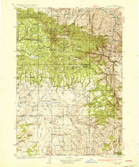
1936 · Dayville
USGS Topo · 1:125,000
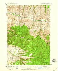
1940 · Aldrich Mtn.
USGS Topo · 1:62,500
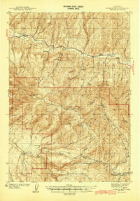
1943 · Aldrich Mtn.
USGS Topo · 1:62,500
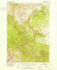
1951 · Courtrock
USGS Topo · 1:62,500
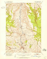
1953 · Picture
USGS Topo · 1:62,500

1955 · Canyon City
USGS Topo · 1:250,000

1959 · Canyon City
USGS Topo · 1:250,000
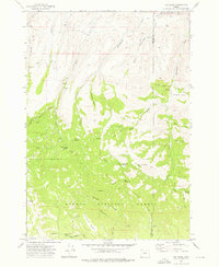
1972 · Day Basin
USGS Topo · 1:24,000
1972 · Aldrich Mountain North
USGS Topo · 1:24,000