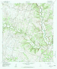
1958 Map of Pidcoke
USGS Topo · Published 1984About this map
Cowhouse Creek winds through this central Texas landscape, where the rural character of Coryell County is defined by its drainage networks and scattered family-named settlements. The unincorporated community of Pidcoke serves as a primary focal point, situated near the Pidcoke Cem and a local Youth Camp. The mapping reveals a transition in land use along the southeastern edge, where the Fort Hood Military Reservation encroaches upon traditional ranching and farming lands.
Find a feature on this map
14 named features on this map. Tap any name to fly to it.
Don’t see what you’re looking for? This feature index may not catch every label — zoom into the map to look around manually.
Map Details
Editions of this 1958 Pidcoke Map
2 editions found
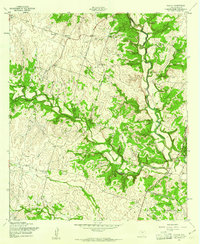
Other maps of this area

1887 · Lampasas
USGS Topo · 1:125,000

1894 · Lampasas
USGS Topo · 1:125,000

1894 · Gatesville
USGS Topo · 1:125,000

1947 · Fort Hood
USGS Topo · 1:62,500

1947 · Fort Hood
USGS Topo · 1:24,000

1947 · Purmela
USGS Topo · 1:62,500

1947 · Gatesville West
USGS Topo · 1:24,000

1947 · Pidcoke
USGS Topo · 1:24,000

1947 · Purmela
USGS Topo · 1:24,000

1947 · Shell Mountains
USGS Topo · 1:24,000